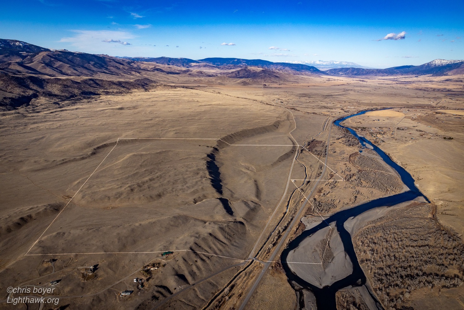
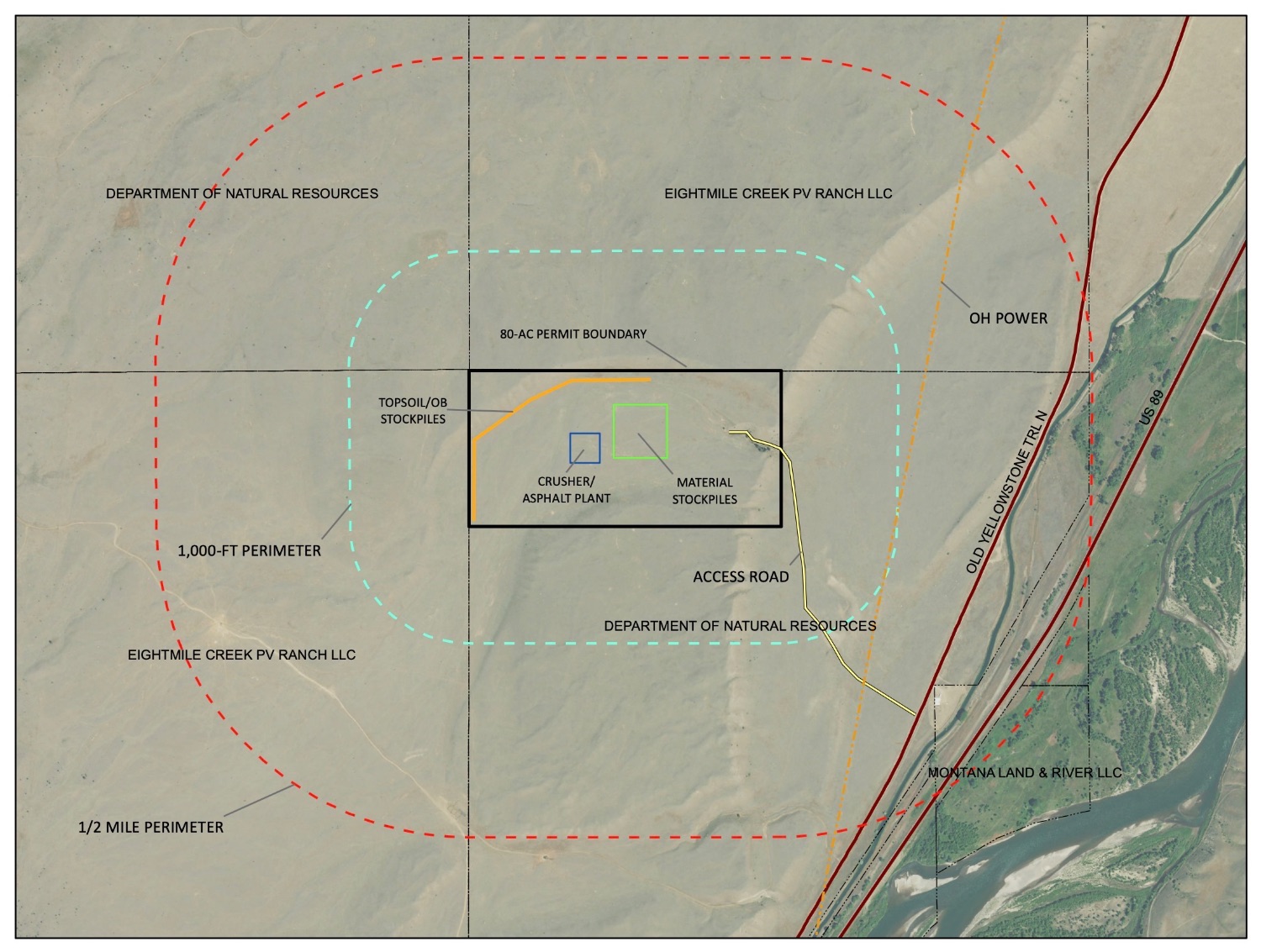
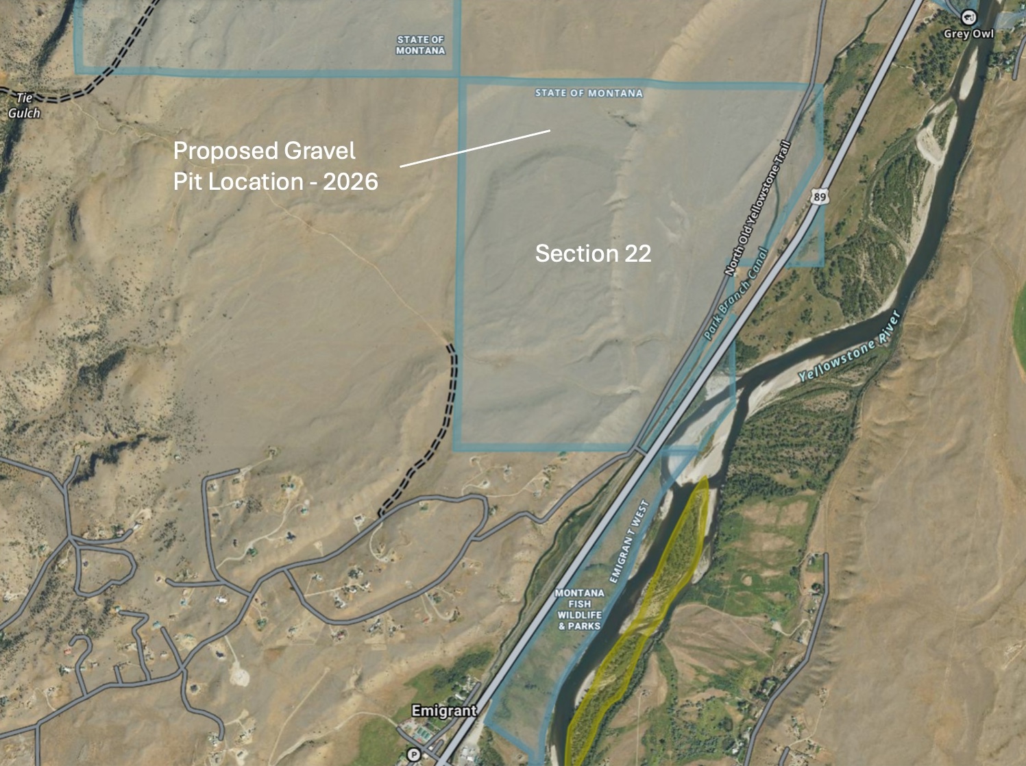
Dear Friend, Sometimes you have to raise a little hell in order to get the information you need. Last September we sent a public records request to the Department of Natural Resources and Conservation (DNRC) asking for new information regarding any opencut gravel mine on Section 22, north of Emigrant. We finally heard back a couple days ago. We now have the full lease application between the agency and Riverside Contracting; coincidentally, only after we brought the situation to light in response to the gravel pit appearing on the County Commission agenda this week. For the first time, we can see the true scale of the threat to Section 22—an important migration corridor and cultural site that has long provided our community with accessible land for hunting and quiet recreation. The Details We Uncovered: The application, filed by Riverside Contracting, Inc. based in Missoula, reveals a large industrial footprint on 80 acres of state land. Although this application was filed on March 31, 2025, the public is only just now receiving this information from the DNRC. According to the documents: - Size of the Lease: The application outlines an 80 acre permit boundary for the operation, the property description indicates that the company intends to lease the entire section west of Highway 89, which we recently verified with a local surveyor.
- Industrial Scope: The plans include a crusher, a truck scale, and an asphalt plant.
- A 20-Year Lifespan: The company’s planned reclamation date is 2046, meaning this land will be an active industrial zone for at least the next two decades.
- Industrial Water Use: The operation intends to drill and install an onsite exempt well to support these industrial activities.
|
|
Loss of Access: We have confirmed that while the lease application focuses on 80 acres, the property description seems to demonstrate that the company is interested in leasing the entire section. Under Montana law MCA § 77-1-804(3)(c), state trust lands may be categorically closed to recreational use when they are under active mineral or commercial leases. This means the entire section of land could be legally off-limits for hunting and hiking for decades, while Riverside is actively operating. |
|
How You Can Help: Take Action Now Thank you to everyone who attended the county commission meeting this past Tuesday. Now, we must direct our comments to the DNRC. While this application is not on the Land Board agenda for February 17, it may be added in the future. 1. Please contact the DNRC today. Tell them that Section 22 is NOT the place for a 20-year industrial asphalt plant and gravel mine. We must protect accessible public lands and wildlife habitat in Paradise Valley. Send your comments to the DNRC via email: [[email protected]] 2. Sign the Petition: Protect Section 22 - Sign Here 3. Watch the County Commission Meeting: In case you missed it, many locals came to the February 10th Commission meeting to express concerns about this proposed gravel pit, you can view the full recording here. |
|
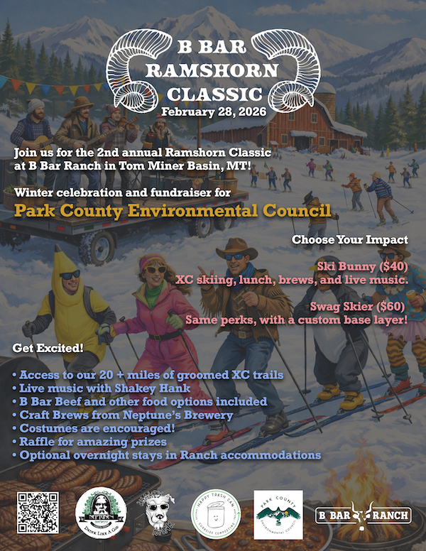
See you at the end of the month for the Ramshorn Classic. |
|
|
Contact Us Park County Environmental Council
PO Box 164
Livingston, Montana 59047
(406) 222-0723
[email protected] |
|